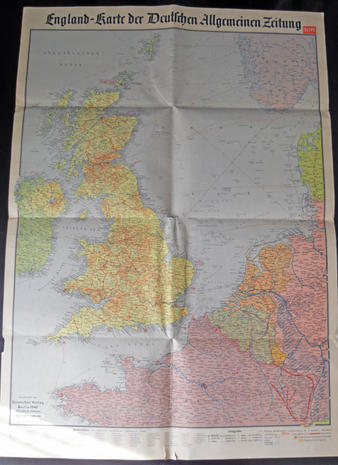
Map of England
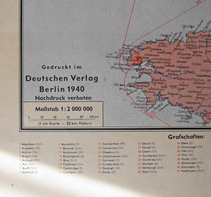
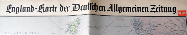
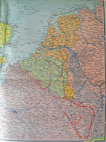
Original wartime map dated 1940.Made by Deutschen Verlag of Berlin.Map shows England,Northern France and the Low countries.Shows the Maginot and Siegfried Lines.23x33 inches.Just a nice size for a headquarters wall!In Good condition.
Code: 1798